Strategic Use Cases
Illicit Flows Detection
May
Mapping chokepoints and vehicle patterns in fragile transit zones
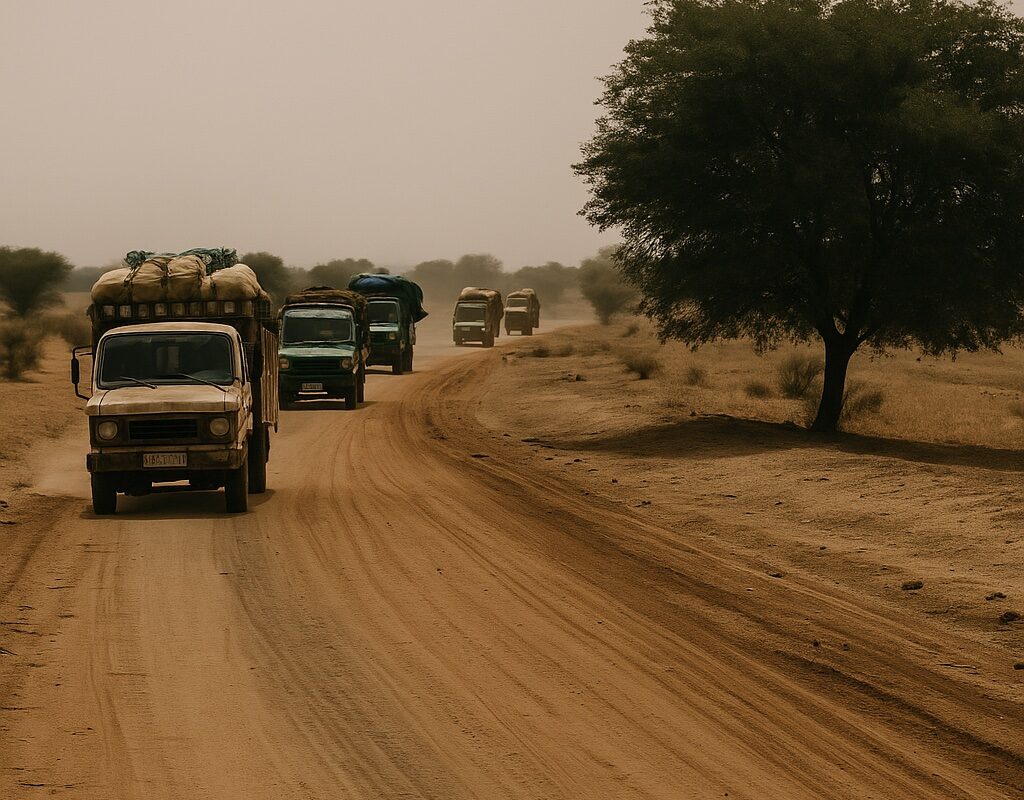
In the porous corridors of the Sahel, control is a moving target. Long before weapons or contraband cross borders, intelligence must detect the patterns — informal roads, emerging trade flows, and shifting transit behavior.
GeoSentinel deployed a multi-layered monitoring setup along two critical axes linking southern Senegal to Mali and Guinea-Bissau. Using a blend of open-source data, field-verified routes, and satellite analysis, we tracked:
- Unofficial border crossings
- Convoy timing patterns
- Overlap between commercial and illicit routes
- Local signals (WhatsApp group references, vehicle types, checkpoints)
“When you understand flow, you understand intention — before the incident occurs.”
The data was not just visual — it was operational. Military planners and customs officers received geo-tagged overlays, predictive heatmaps, and a tactical brief updated every 48 hours.
GeoSentinel’s illicit flow modules are not based on static maps — they evolve as the terrain, the actors, and the threats do.