Strategic Use Cases
Red Sea Crisis Mapping
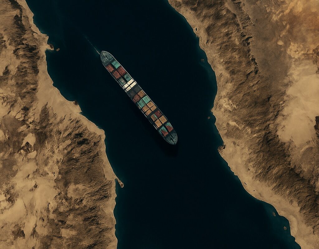
May
Smuggling alerts and naval posture tracking across a volatile corridor
The Red Sea is no longer just a trade route — it’s a geopolitical pressure point. From Houthi-linked disruptions to rival port expansions, maritime posture in this region is now a proxy for deeper strategic interests. For the UAE and its partners, understanding this theater requires more than radar. It requires intelligence.
GeoSentinel’s Red Sea monitoring suite fuses satellite data, naval traffic, and OSINT signals to detect emerging risks in real time. Our analysts track:
- Suspicious route deviations by unflagged vessels
- Informal maritime clusters near chokepoints
- Telegram channels linked to Red Sea armed groups
- Infrastructure buildup across key port cities
“You can’t secure a sea corridor without understanding its narrative dimension. This is not just traffic — it’s messaging.”
Each week, GeoSentinel delivers updated alerts and visual overlays, helping sovereign partners calibrate response and posture.
This is not a public dashboard. This is tailored intelligence — mapped, filtered, and contextualized for regional command centers.